Overview
The Chautauqua Trail area is one of the most iconic hiking destinations in Boulder, Colorado, located directly beneath the dramatic sandstone formations of the Flatirons. With multiple interconnected paths and loop options, this area offers everything from short scenic walks to more strenuous foothills hikes.
Because of its accessibility and scenery, Chautauqua is popular year-round. Even a short hike provides expansive views of the Flatirons, open grasslands, and the city of Boulder stretching east across the plains.
- Official site: Chautauqua (City of Boulder)
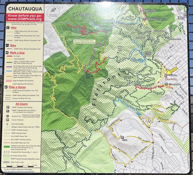
- Official map: OSMP Trail Map (City of Boulder)
- Access: Bluebell Road, Boulder, CO 80302
(📍 Link to Google Maps)
- Crowds & Parking Information
Even on weekdays, the area can be quite busy during the middle of the day.
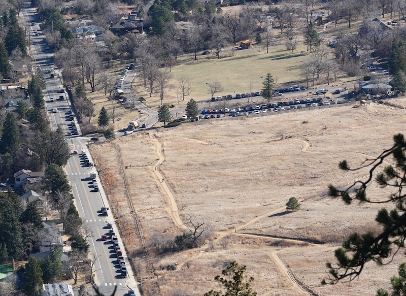
Cars often line Baseline Road with street parking, as shown on the left side of the photo.
Early mornings are usually much quieter and are the best time to visit if you prefer a more peaceful hike.
📷 View this photo on Adobe Stock
🔎 Boulder Trail Index (All Trails)
Trailhead
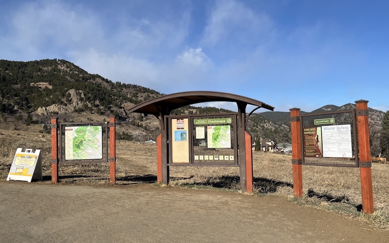
The main trailhead is located along Bluebell Road within Chautauqua Park, a historic cultural and recreational area at the base of the foothills. From the trailhead, hikers can choose among several routes that connect to nearby trails and higher elevations.
Clear signage is present, but the number of junctions can be confusing for first-time visitors, so checking a map before starting is recommended.
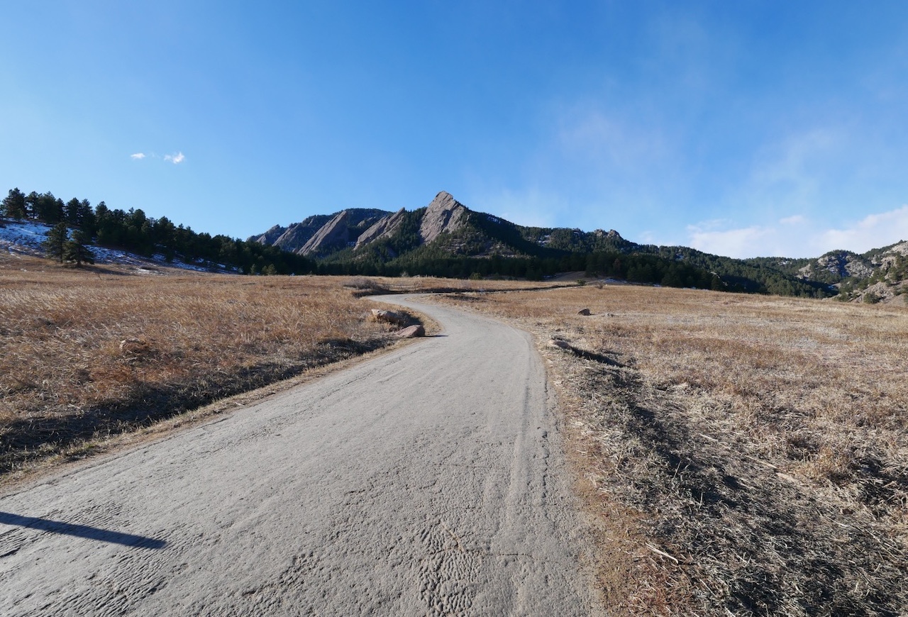
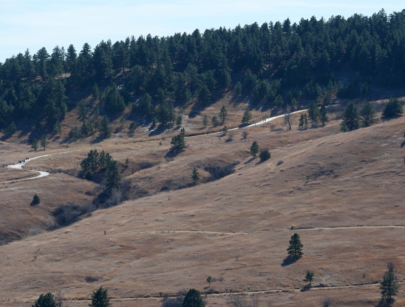
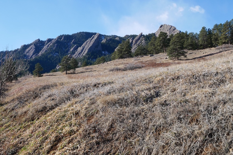
The photo below shows the gentle uphill section near the Chautauqua Trailhead, photographed from Flagstaff Mountain. The trail gradually ascends from here toward the Flatirons.
📷 View this photo on Adobe Stock
Trail Experience
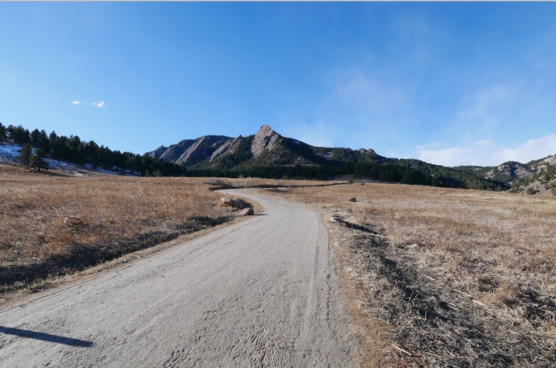
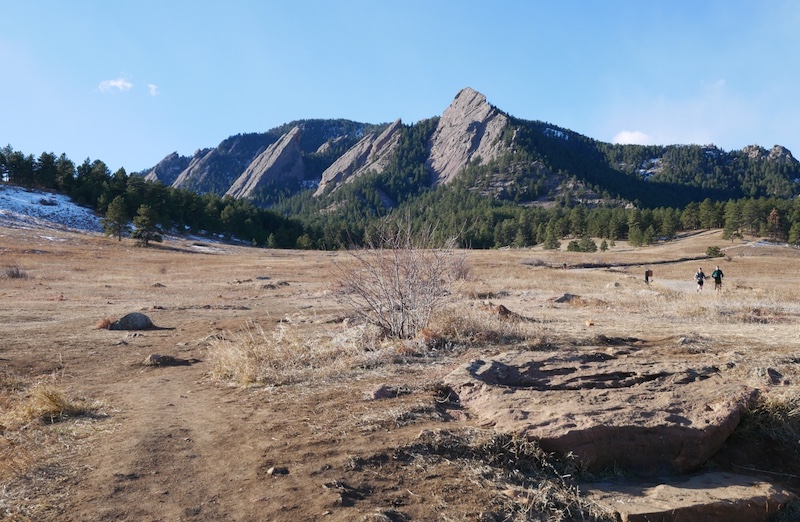
Heading west from the trailhead, the trail gradually climbs toward the Flatirons, offering classic Boulder foothills scenery almost immediately.
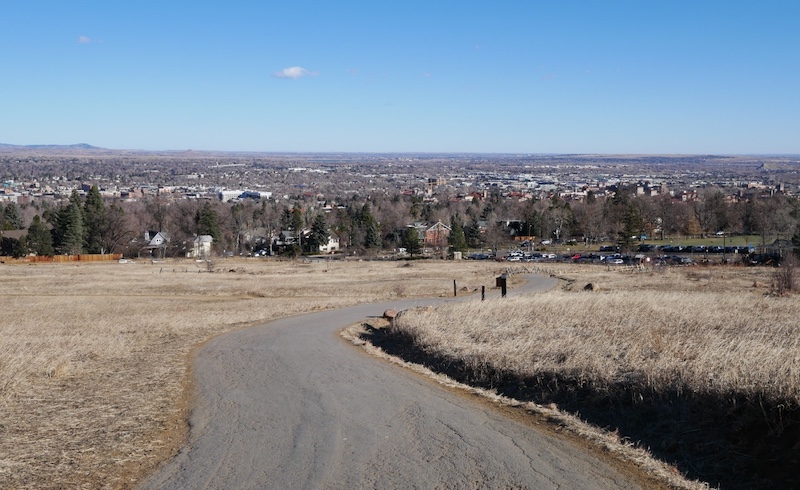
Turning back to the northeast reveals wide views of the city and surrounding plains.
In winter, the landscape takes on a quieter character, with pale grasslands, sharp rock formations, and clear air that often provides excellent visibility. Conditions can vary, with icy or muddy sections depending on recent weather.
Tips
- This is one of Boulder’s busiest trail areas, especially on weekends and holidays. Early mornings are typically quieter.
- Trail conditions change quickly after snow or rain; traction and footwear suitable for mud or ice are helpful.
- Because distances and elevation gain depend on the chosen route, this area works well for flexible outings ranging from short walks to longer loop hikes.
Maps & Management
Trails in this area are managed by City of Boulder as part of the Open Space and Mountain Parks (OSMP) system. Refer to the official OSMP trail map for current conditions and route planning.
Chautauqua Park is also home to the historic Colorado Chautauqua cultural center, a National Historic Landmark nestled at the base of the Flatirons.
Related books
(Amazon US)
- Best Boulder Region Hiking Trails — Hike 26 – Chautauqua Park to Royal Arch

- Boulder Hiking Trails (5th Edition) — Bluebell-Baird Trail

- The Best Urban Hikes: Boulder — Chapter 1. A Taste of Chautauqua: Bluebell Loop

- BEST EASY DAY HIKES Boulder — Chapter 7. Enhanced Mesa and McClintock Nature Trail

→ Explore more trails: Boulder Trail Index
This page is part of a growing local trail archive maintained by the YRAIN Project.