Introduction
Powerline Trail is a north–south route in western Louisville that serves as part of the local everyday trail network. It is not a famous destination trail, but it does appear on local signage and functions as a connector between parks, neighborhoods, and open space areas.
As the name suggests, much of the trail runs beneath high-voltage transmission lines, creating wide-open views across grasslands and greenbelts alongside residential areas.
🔎 Boulder Trail Index (All Trails)
Basic Information
Official Source: Trails and Maps – City of Louisville
(There is no dedicated page specifically for Powerline Trail.)
Access Point (example):
Annette Brand Park
961 Azure Way, Louisville, CO 80027
(📍 Link to Google Maps)
Reference Map:
City of Boulder OSMP Trail Map
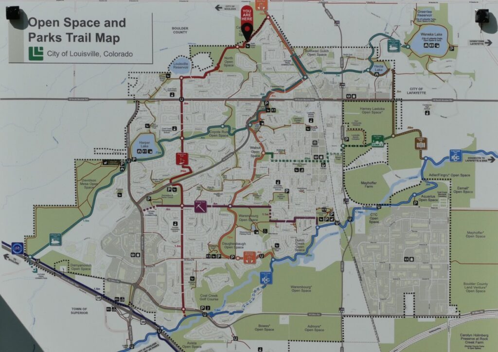
Location and Connections
Rather than being a short standalone walk, Powerline Trail functions as a north–south neighborhood connector within the local trail system.
Key connections include:
- Branching north from the Coal Creek Trail west of Coal Creek Golf Course
- Passing greenbelts near the Louisville Recreation & Senior Center along Via Appia
- Crossing South Boulder Road and continuing near Louisville Reservoir and the Sid Copeland Water Treatment Facility
- Extending into the broad plains of North Open Space and toward Keith Helart Park
Because of these connections, the trail works more as a local mobility corridor than a single recreational destination.
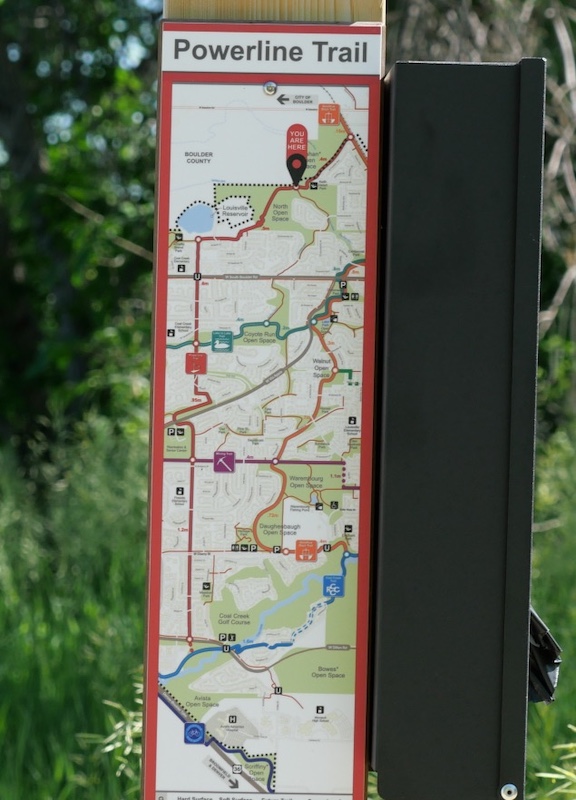
Trail Signage and Network Map
Trailhead signage near Louisville Reservoir shows Powerline Trail as part of the surrounding open space network. While not as prominent as major regional trails, it is clearly integrated into the city’s system of paths and greenways.
Powerline Trail connects with several other routes, including:
- Coal Creek Trail – Following Coal Creek
- Goodhue Ditch Trail – A north–south corridor linking Callahan Open Space Trailhead and the Coal Creek Trail near Dutch Creek Park
- Mining Trail – An east–west path connecting Louisville Arboretum and Louisville Community Park
- Lake to Lake Trail – Linking Harper Lake and Waneka Lake
Some segments may be informal or lightly developed.
Trail Character
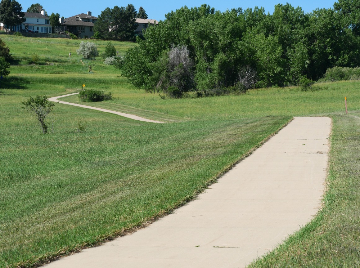
Open Sections Beneath Power Lines
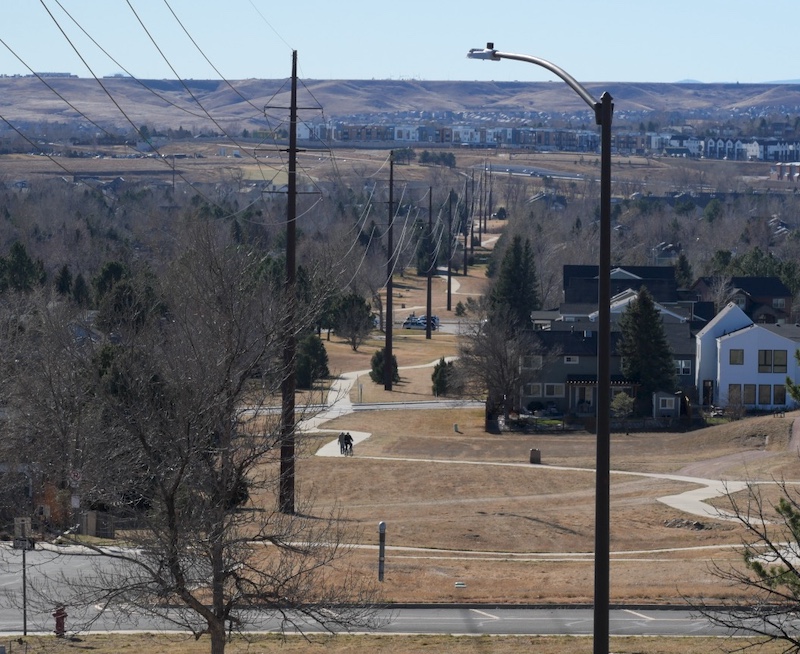
Tall transmission towers and overhead lines create wide skies and long sightlines. With few buildings nearby, these sections feel airy and exposed, often with noticeable wind.
Greenbelts Beside Neighborhoods
Parts of the trail run directly alongside residential areas and may feel similar to paved multi-use paths. These stretches are popular for daily walks and jogging.
Unpaved Prairie Segments
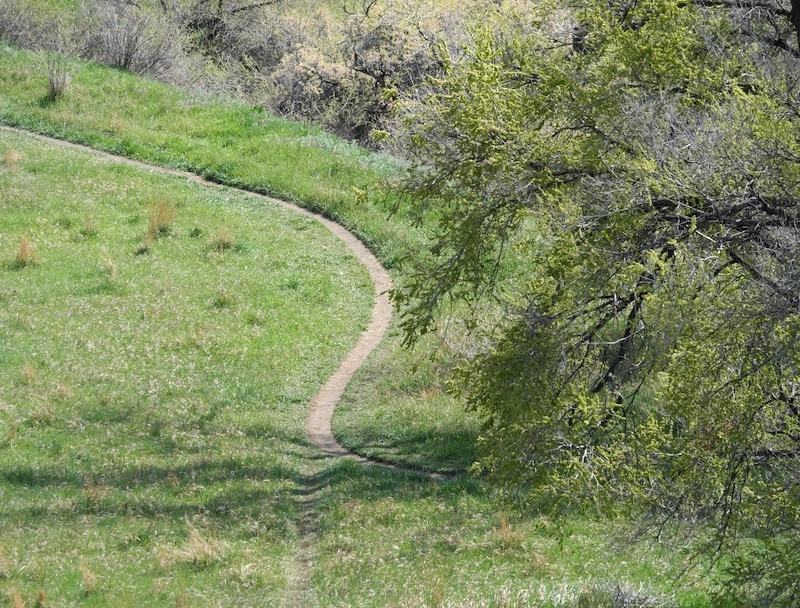
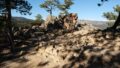
Within North Open Space, smaller dirt paths branch off through open grassland. Walkers can follow irrigation ditches, climb gentle rises, or explore routes that pass near working agricultural land.
In these areas, pavement disappears and the trail becomes a narrow dirt path. Spring brings fresh green growth, while late summer and fall highlight dry prairie colors.
Seasonal Highlights
(Photos taken around North Open Space)
Spring
Grasses and low shrubs begin to leaf out, creating soft green prairie scenery. Yucca flowers may bloom near irrigation channels.

Summer
With little tree cover, early morning and evening are the most comfortable times to walk.

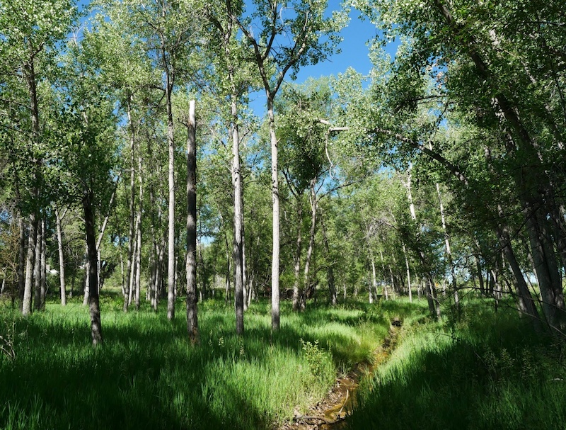
Near Keith Helart Park, wooded areas provide occasional shade.
Fall
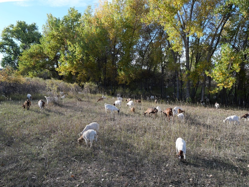
Short grasses and nearby trees change color, and clear days offer long-distance views. Seasonal goat grazing is sometimes used for vegetation management.
Winter
A light snowfall transforms the combination of power lines and open prairie into a quiet winter landscape.
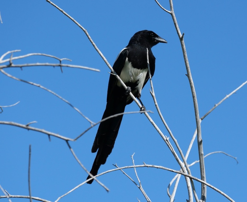
Wildlife You May See
The open environment beneath transmission lines provides good perches and visibility for birds.
- Black-billed Magpies
- Finches and other small songbirds
- Bald Eagles (occasionally)
Goats may also be present during managed grazing periods.
Despite its urban setting, the trail offers regular opportunities to observe everyday Front Range wildlife.
Summary
Powerline Trail is not a destination hike, but a local nature corridor linking neighborhoods, parks, and open space between Louisville and south Boulder County. Walking beneath transmission lines may seem unusual at first, but it creates expansive views where prairie and suburb meet.
It’s a good choice for a quiet walk, a neighborhood jog, or anyone interested in how urban and natural landscapes connect along Colorado’s Front Range.
Related books
(Amazon US)
Birds of Colorado Field Guide

→ Explore more trails: Boulder Trail Index
This page is part of a growing local trail archive maintained by the YRAIN Project.