 Trails
 McIntosh Lake Loop Trail, Longmont, Colorado
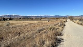
Google Map 🔎 Boulder Trail Index (All Trails)Trail GuideMcIntosh Lake , Longmont, Colorado (November 2025)Trail around t...
Trails 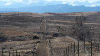 Trails
 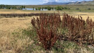 Trails
 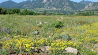 Trails
 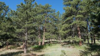 Trails
 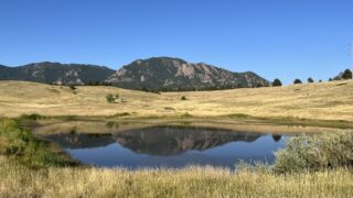 Trails
 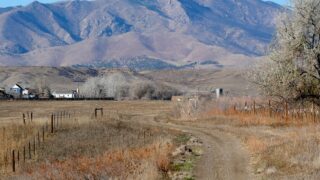 Trails
 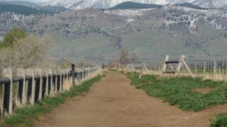 Trails
 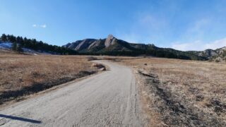 Trails
  Trails